Bad Aussee - Grundlsee - Gallhof - Hintenkogl - St. Leonhard


- Flatly
Interactive elevation profile
Create PDF
Tour-Details
Paths covering:
Along the river "Traun" to Grundlsee and via the districts "Gallhof", "Hintenkogl" and "St. Leonhard" back.
Technique: **
Quality of experience: ****
Recommended season:
- January
- February
- March
- April
- May
- June
- July
- August
- September
- October
- November
- December
Properties:
- Loop
- Scenic
From the park in the centre of Bad Aussee via the beautiful promenade we reach Grundlsee. Passing the districts "Gallhof", "Hintenkogl" and "St. Leonhard" we get back to Bad Aussee.
The last part of the route which we take back to Bad Aussee leads over a meadow, which ist not cleaned in winter time. Therefore during the winter month the route back to the starting point in the centre of Bad Aussee shall be taken via the church "St. Leonhard" downwards on a pavement next to the road "Gasteig".
Directions:
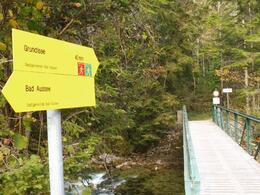
Through the park via the path called "Gamsensteg" we follow the signs in direction of Grundlsee via the alley named "Tauscheringasse" and the "Richard-Eybner-Promenade". Passing the local heat supply station we carry on walking a short part next to the road before we take the idyllic promenade on the other side of the river.
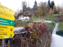
After leaving this promenade we have to turn to the right and walk back to the near crossing. There we follow to the left and nearby again to the right. Walking along this road without heavy traffic, the "Gallhofstraße" we get via the path called "Hintenkoglweg" and "Reithgasse" to the church called "St. Leonhard", where its visitor will enjoy a fantastic view.
A nice path, the "Kreuzangerweg" leads us over a path partly through the meadow and over stairs back to the centre of Bad Aussee.
Tip:
Alternatives:
Further to Grundlsee and and from then on walking, enjoying the landscape or whatever you like! For the way back public transportation or the so-called "Narzissenjet" are available.
Another route back would be via the district "Mosern", which is a part of Grundlsee, and "Untertressen" and "Obertressen" back to Bad Aussee.
Safety guidelines:
Please note the exclusion of liability!
Equipment:
Hiking boots or runners recommended.
While or after rain waterproof footwear is approved.
further information:
- Flatly
Getting there
Detailed information how to get to the Ausseerland – Salzkammergut you will find on our website!
Public Transit
Railway station nearby: Bad Aussee
ÖBB (train): www.oebb.at
Verbundlinie Steiermark (bus): www.busbahnbim.at
Public transport service Narzissenjet:
www.ausseerland.at/narzissenjet
Transport of bicycles not possible!
Parking
Parking directly at the starting point in the centre of Bad Aussee available. Liable to fees!
- Spring
- Summer
- Autumn
- Early winter
- Deep winter
Please get in touch for more information.
Pratergasse 388
8990 Bad Aussee
Phone +43 3622 54040 - 0
E-Mail info@ausseerland.at
Web www.ausseerland.at
Interactive elevation profile
Create PDF
Tour-Details
Paths covering:


