© Foto: Salzkammergut/Katrin Kerschbaumer: Der Gosausee
Salzkammergut
Media Service
Seeweg und Aberseeweg
Path number: Alle Neune - Tour 5
Starting place: 5350 Strobl
Destination: 5350 Strobl

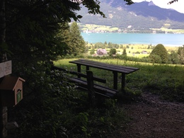
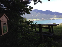
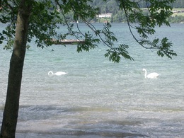
A walk over level and undulating terrain along Lake Wolfgangsee with views over the lake.
Pilznerbauer farm, to the Gschwendt jetty and to the Zinkenbach footbridge. Go left here, where the path joins walk no. 15, to the B158 and go under this main road then right to the gravel pit. Follow walk no.15, passing the Niedergaden road and the summer toboggan run (stamping point). Go through the wood to the Mahdhäusl Guesthouse, down the road and under the B158, passing the Lipphaus local museum and over the field to the railway embankment. Following the route of the
former local railway, go right after about 1km to Strobl's sports' field and join the Strandbadstrasse (road), reaching your destination soon after.
Parking
- Parking space: 50
- Suitable for groups
- Suitable for schools
- Suitable for kids (6 - 10 Year)
- Suitable for families
- Suitable for friends
- Suitable for couples
- Suitable for children
- Spring
- Summer
- Autumn
Please get in touch for more information.
5350 Strobl
Phone +43 6137 7225
Fax machine +43 6137 5958
E-Mail office@wolfgangsee.at
Web wolfgangsee.salzkammergut.at
https://wolfgangsee.salzkammergut.at


