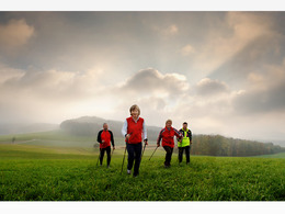
Buchenschacher


- Flatly
Interactive elevation profile
Create PDF
Tour-Details
Starting place: 4812 Pinsdorf
Destination: 4812 Pinsdorf
duration: 1h 55m
length: 7,8 km
Altitude difference (uphill): 26m
Altitude difference (downhill): 27m
Lowest point: 489m
Highest point: 521m
difficulty: easy
condition: easy
panoramic view: Some Views
Paths covering:
Asphalt, Path / trail, Street, Hiking trail
powered by TOURDATA
Most economical season
- Spring
- Summer
- Autumn
Please get in touch for more information.
Moosweg 3
4812 Pinsdorf
Phone +43 7612 63955
Fax machine +43 7612 63955 - 20
E-Mail tourismusverband@pinsdorf.ooe.gv.at
Web www.pinsdorf.at/
https://www.pinsdorf.at/
Interactive elevation profile
Create PDF
Tour-Details
Starting place: 4812 Pinsdorf
Destination: 4812 Pinsdorf
duration: 1h 55m
length: 7,8 km
Altitude difference (uphill): 26m
Altitude difference (downhill): 27m
Lowest point: 489m
Highest point: 521m
difficulty: easy
condition: easy
panoramic view: Some Views
Paths covering:
Asphalt, Path / trail, Street, Hiking trail
powered by TOURDATA


