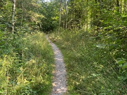
hiking way to Lämmerbach


Interactive elevation profile
Create PDF
Tour-Details
Starting place: 5324 Hintersee
Destination: 5324 Hintersee
duration: 2h 19m
length: 8,5 km
Altitude difference (uphill): 136m
Altitude difference (downhill): 136m
Lowest point: 733m
Highest point: 830m
difficulty: easy
panoramic view: Some Views
powered by TOURDATA

1 Start in Hintersee, Parkplatz
Direction information: Departure

2 Tauglbrücke
Direction information: straight ahead

3 Aulandschaft
Direction information: straight ahead
4 Kreuzung Wald-Wasser-Zauberweg

6 Kreuzung Gemeindestraße
Direction information: straight ahead
7 Talschluss, Parkplatz

8 Rastplatz
Direction information: straight ahead
9 Gemeindezenturm
Direction information: Destination
Please get in touch for more information.
Nr. 38
5324 Hintersee
Phone +43 6226 8384
E-Mail hintersee@fuschlseeregion.com
Interactive elevation profile
Create PDF
Tour-Details
Starting place: 5324 Hintersee
Destination: 5324 Hintersee
duration: 2h 19m
length: 8,5 km
Altitude difference (uphill): 136m
Altitude difference (downhill): 136m
Lowest point: 733m
Highest point: 830m
difficulty: easy
panoramic view: Some Views
powered by TOURDATA


