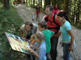
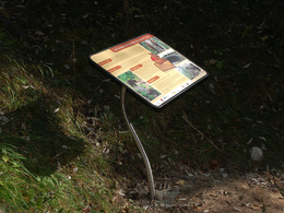
Bears path on the Lidaun


- pets allowed
- Suitable for families
- Suitable for kids (all ages)
- Flatly
Interactive elevation profile
Create PDF
Tour-Details
Paths covering:
At the end of the trail, is the bear´s cave, where you will also experience something special.
Information and brochure you get at the Tourist Office Faistenau.
daily accessible
By car:
Arrival via the West motorway A1, junction Thalgau.
Follow the main road (B 158) in direction to Hof bei Salzburg until you reach the traffic circle “Baderluck”. At the first junction turn into the main road (Hinterseestraße) and after a few kilometers you reach your holiday destination Faistenau.
There are plenty of parking areas near the starting points.
With the Postbus
From Salzburgs bus station, opposite the train station, there is a good bus connection into the
Fuschlsee region and also to Faistenau. You will find details in internet under www.svv-info.at.
With the Train
Information and connections can be found under following addresses www.oebb.at or www.bahn.de
By Air
Salzburg Airport lies very close to Salzburg city. The Bus Nr. 2 brings you from the airport to the main station where you change to continue with the post bus.
no parking fees
- Suitable for groups
- Suitable for schools
- Suitable for kids (0 - 14 Year)
- Suitable for kids (all ages)
- Pets allowed
- Suitable for families
- Suitable for children
- Spring
- Summer
- Autumn
Please get in touch for more information.
Am Lindenplatz 1
5324 Faistenau
Phone +43 6226 8384 - 41
E-Mail faistenau@fuschlseeregion.com
Web fuschlsee.salzkammergut.at
You can also visit us on
Visit us on FacebookInteractive elevation profile
Create PDF
Tour-Details
Paths covering:


